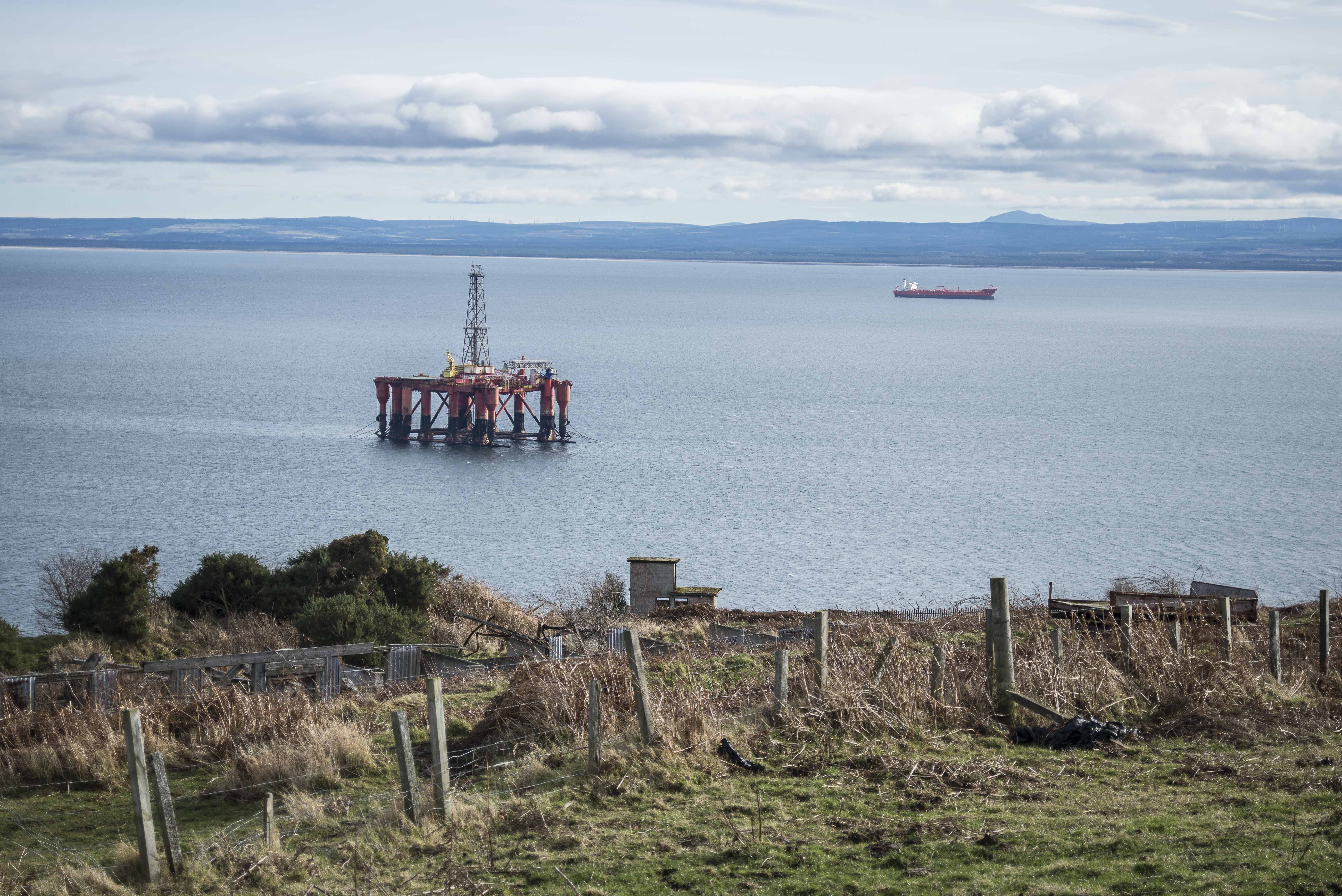
We thought we’d share dome photos with you to put things in perspective. The photo below is taken from Chanonry point – we believe the recently parked oil rig is sitting on anchorage 14 (see http://www.cromartyrising.com/wp-content/uploads/2017/01/figure-3-1-ship-to-ship-transfer-location-with-correct-scale-2.pdf for map). It remains to be seen if this anchorage will be used in the new application but it serves to show how close to land this proposal actually is. You will note that the south sutor pictured to the left is exact a forgiving looking land mass for a drifting oil tanker!
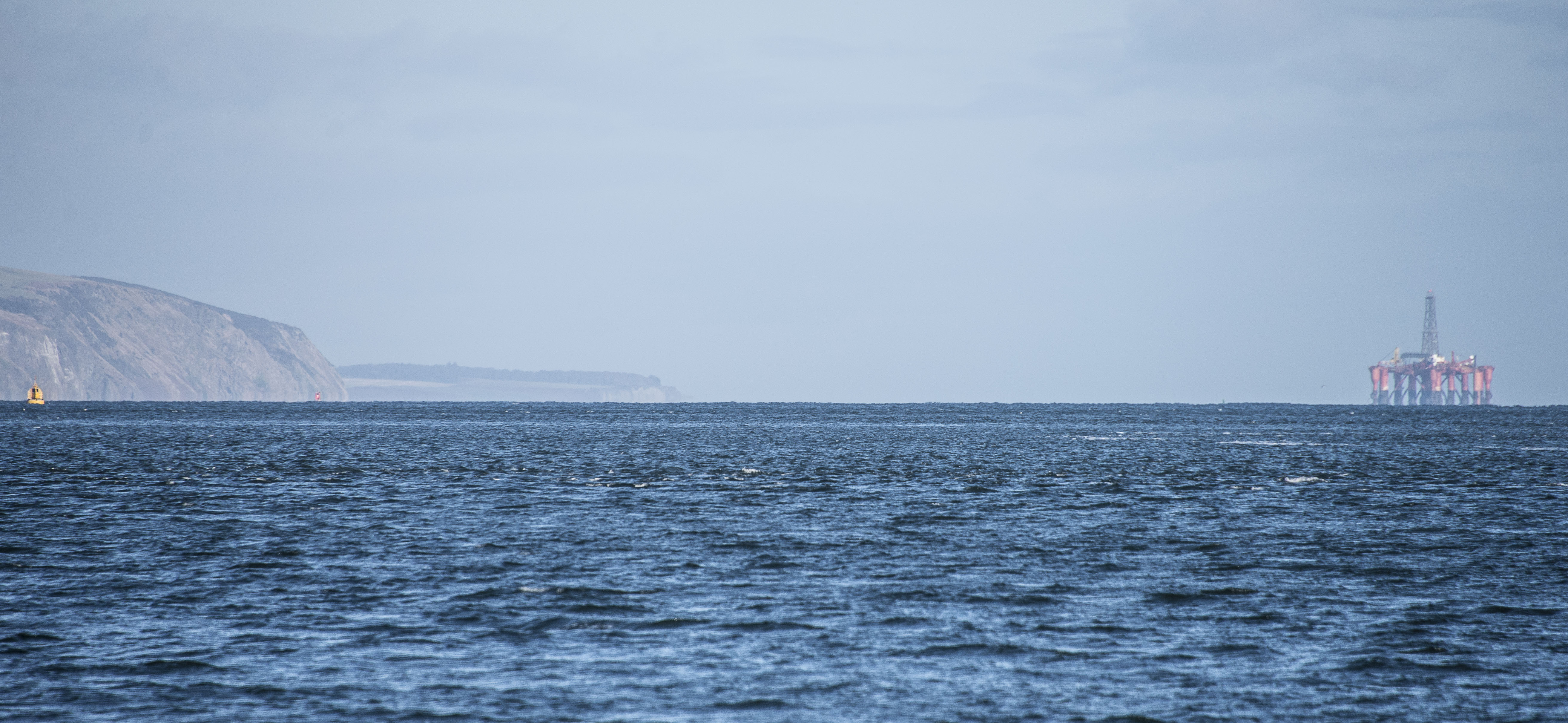 Now below is the same oil rig from the top of the south sutor – it really does underline how close to shore this proposal actually is! Does anyone think this is a good idea based on sound judgement?